66°F

Aaron Parecki

  • Articles
  • Notes
  • Photos
  • My GPS Logs

    I've had a fascination with maps for as long as I can remember. During family road trips to San Francisco I remember tracing our route on a map with a highlighter in real-time. Many, many years later, I am able to trace my route automatically with a GPS receiver on my phone.
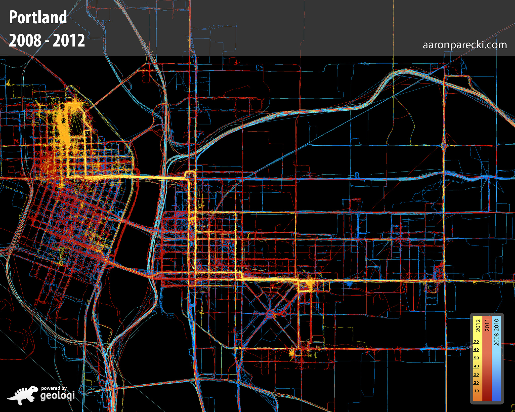
    I have been carrying a GPS tracker with me at all times since 2008, walking, biking, driving and flying. I use this data for various things, including:

    Logging my Transport

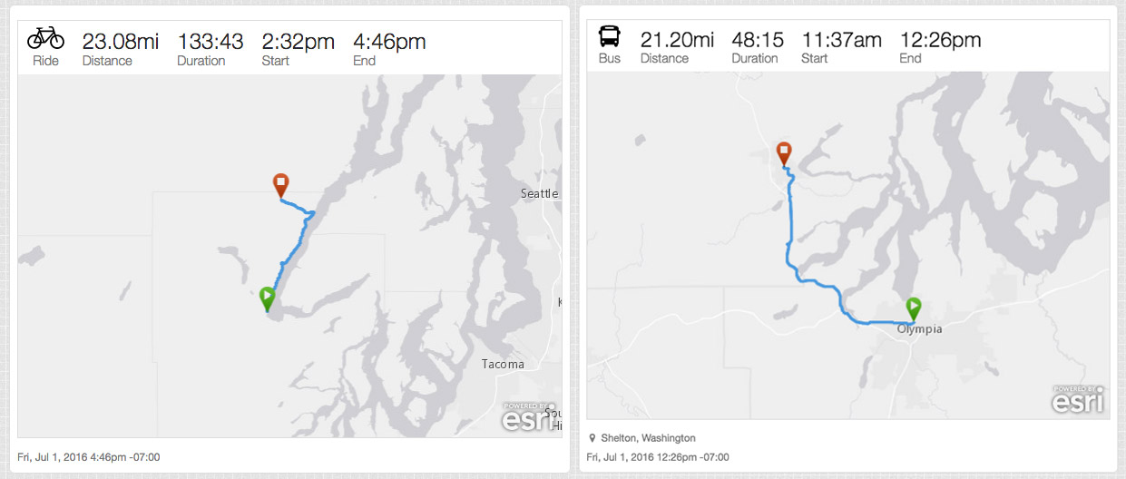
    I log my bike rides, flights and other ways I travel around from this GPS data.

    Displaying my local time and local weather

    The header of my website always shows my local time and the current weather at my location.
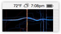
    The background image of this website is a large map centered around my current approximate location.

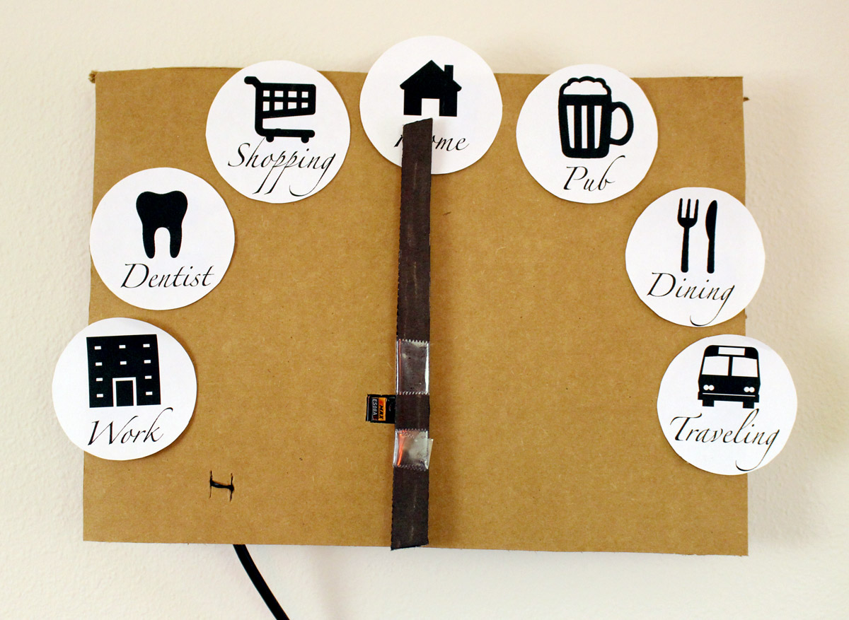
    A Magic Clock

    I have a "magic clock" in my house that points to where I am. "Home," "Work" and "Traveling" are based on my GPS location. The others are based on Foursquare checkins.

    Geotagging my Posts

    Nearly every post on my website is geotagged based on where I am when I posted it. When the device I use to create the post doesn't have a source of location, my website looks up my location from the GPS tracker and uses that location for the post. This is also used to set the correct timezone for each post.

    Geotagging my Photos

    I don't have a GPS logger in my digital camera, so my photos don't have location data in them. When I upload them to my photo archive, I query my GPS logs to find out where I was when I took the photo.

    How it Works

    Over the years, I've gone through a few iterations of the software and hardware that makes this work. Here is my current setup, running since 2014.

    • My iPhone running my own app, Overland. The application is ugly, but it's the only one that behaves exactly how I want.
    • A server-side API, Compass, which receives GPS logs from the iPhone and stores the data on disk. This also provides an API that various other systems can query.


    Previously, I've used other software and hardware:

    • 2012-2014 An iPhone running the Geoloqi application
    • 2010-2012 An Android phone running Instamapper, pushing to the Geoloqi API
    • 2009-2010 A Windows Mobile phone running trackr.eu

    Visualizations

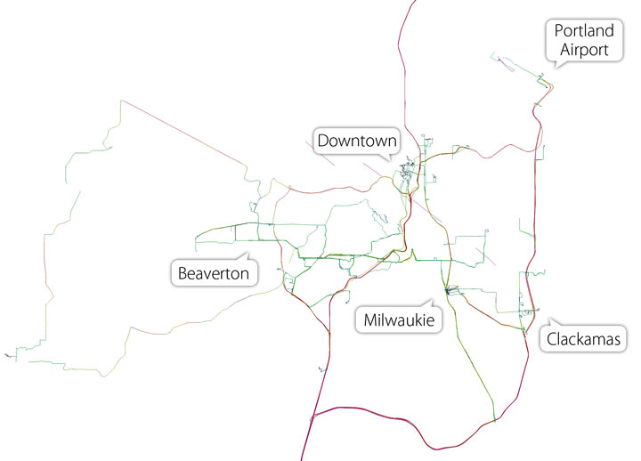
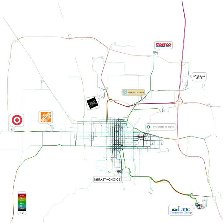
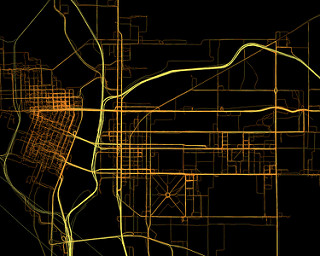
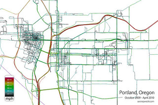
    Below are images generated solely from the GPS data. There is no underlying map. The color of the lines corresponds to the speed I was traveling. Frequently-traveled paths appear thicker because of how many overlapping tracks there are.

    Portland, Oregon
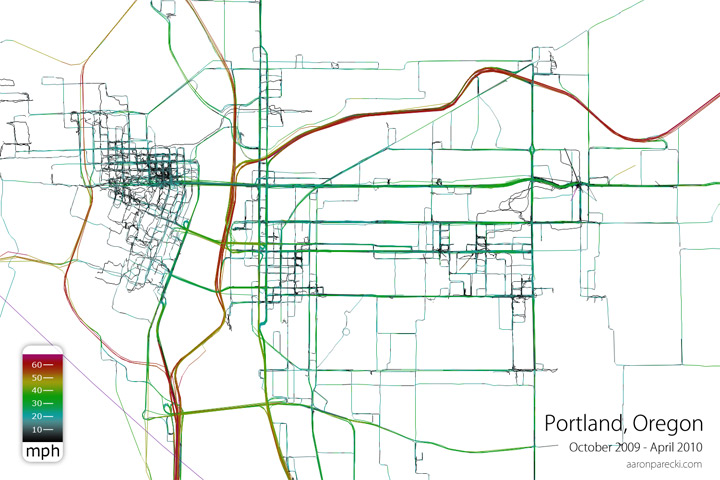
    Portland, Oregon - April 2008 to April 2010

    Portland, Oregon - April 2008 to September 2009

    Eugene, Oregon

    Eugene, Oregon - April 2008 to September 2009

    Eugene Zoomed - April 2008 to September 2009

    Animated

    Read more about Geonotes, Proximal Notification Systems, and Automatic Check-ins with GPS and SMS
    More photos on flickr

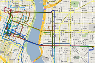
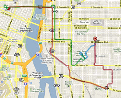
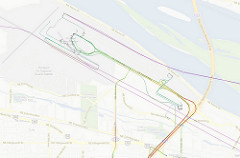
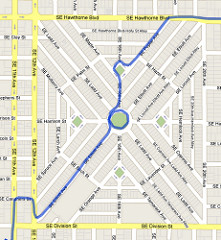
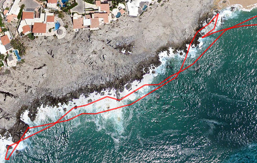
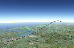
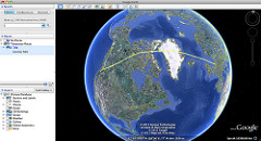
    GPS Logs - Portland - 2008-2010 GPS Logs from #osbridge week colored by hour GPS Logs from Portland Closeup - Oct 2009 through Apr 2010 Today's Map GPS Logs from the Portland Airport - June 2008 through April 2010 First time in Ladd's Addition in Portland GPS logs from climbing rocks at the ocean GPS logs of the flight from Copenhagen to Amsterdam GPS logs of the flight from Amsterdam to Portland in Google Earth

    permalink
    1 bookmark 2 replies 15 mentions
    • Chris Aldrich
    • Henrique Dias hacdias.com

      Hey Aaron! What software/library are you using to generate those maps with your location? Can they be considered heat maps? And what about the animated video?

      Wed, Jan 22, 2020 11:35am +00:00
    • Alex Russell twitter.com/slightlylate
      I think this is a great question we should tackle in Fugu. I'd like to be more privacy preserving than Native here, and so far we've been very conservative. Usage indicators might suffice? IDK.
      Fri, Nov 8, 2019 4:04pm +00:00 (via brid-gy.appspot.com)

    Other Mentions

    • Dan Q danq.me
      Heatmapping my Movements
      Sun, Aug 22, 2021 12:50pm +01:00
    • River MacLeod river.cat
      IndieWeb Camp Düsseldorf
      Tue, May 15, 2018 12:00am +00:00
    • Aaron Parecki aaronparecki.com
      2017 in Numbers
      Sun, Dec 31, 2017 6:45pm -08:00
    • Percolator percolator.today
      Episode 14: DROP DATABASE irclog;
      Thu, Nov 30, 2017 12:00am +00:00
    • Aaron Parecki aaronparecki.com
      Episode 14: DROP DATABASE irclog;
      Thu, Nov 30, 2017 12:00am +00:00
    • Aaron Parecki aaronparecki.com
      Episode 4: Pretending to be an iOS Developer
      Wed, Oct 4, 2017 12:00am +00:00
    • Eric Portis ericportis.com
      Possibly useful, when you figure out what you want to do with avatars: cloudinary.com/documentation/…
      Thu, Jul 27, 2017 8:48pm +02:00 (via nicolas-hoizey.com)
    • Eric Portis ericportis.com
      Possibly useful, when you figure out what you want to do with avatars: cloudinary.com/documentation/…
      Thu, Jul 27, 2017 8:48pm +02:00 (via nicolas-hoizey.com)
    • Nicolas Hoizey nicolas-hoizey.com
      So long Disqus, hello Webmention
      Thu, Jul 27, 2017 12:00am +00:00
    • Nicolas Hoizey nicolas-hoizey.com
      So long Disqus, hello Webmention
      Thu, Jul 27, 2017 12:00am +00:00
    • Aaron Parecki aaronparecki.com
      I'm Still Here!
      Fri, May 19, 2017 6:31pm +02:00
    • Aaron Parecki aaronparecki.com
      Day 64: Documentation and Fixes for my GPS Logger App #100DaysOfIndieWeb
      Wed, Feb 22, 2017 12:48pm -08:00
    • Aaron Parecki aaronparecki.com
      Where was I when I took this photo?
      Sat, Jul 16, 2016 8:59pm -07:00
    • Aaron Parecki aaronparecki.com
      Owning My Data in 2014
      Sun, Jan 4, 2015 3:05pm -08:00
    • developer.okta.com
      Tue, Mar 27, 2018 10:05pm +00:00

Hi, I'm Aaron Parecki, Senior Security Architect at Okta, and co-founder of IndieWebCamp. I maintain oauth.net, write and consult about OAuth, and participate in the OAuth Working Group at the IETF. I also help people learn about video production and livestreaming and dabble in product design.

I've been tracking my location since 2008 and I wrote 100 songs in 100 days. I've spoken at conferences around the world about owning your data, OAuth, quantified self, and explained why R is a vowel. Read more.

  • Security Architect at Okta
  • IndieWebCamp Founder
  • OAuth WG Member

  • 🎥 YouTube Tutorials and Reviews
  • 🏠 We're building a triplex!
  • ⭐️ Life Stack
  • ⚙️ Home Automation
  • All
  • Articles
  • Bookmarks
  • Notes
  • Photos
  • Replies
  • Reviews
  • Trips
  • Videos
  • Contact
© 1999-2023 by Aaron Parecki. Powered by p3k. This site supports Webmention.
Except where otherwise noted, text content on this site is licensed under a Creative Commons Attribution 3.0 License.
IndieWebCamp Microformats Webmention W3C HTML5 Creative Commons
WeChat ID
aaronpk_tv